House prices in BH9 1 (Bournemouth)
This article reveals price per square foot data and various charts to help you understand current housing market in 'BH9 1' (Bournemouth) - statistics were last calculated on 30 August 2024.
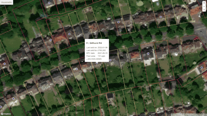
Defining 'BH9 1'
This analysis is limited to properties whose postcode starts with "BH9 1", this is also called the postcode sector. It is shown in red on the map above. There are no official names for postcode sectors so I've just labelled it Bournemouth.
You can click on the map to change sector, or you can enter a different postcode sector (e.g. CM23 4) below.
FYI, a postcode sector is the full postcode without the last two letters.
Price per square foot
Knowing the average house price in Bournemouth is not much use. However, knowing average price per square foot can be quite useful. Price per sqft allows some comparison between properties of different size. We define price per square foot as the sold price divided by the internal area of a property:
£ per sqft = price ÷ internal areaE.g. 32, Abbott Road, Bournemouth, sold for £400,000 on Jun-2024. Given the internal area of 1,485 square feet, the price per sqft is £269.
England & Wales have been officially metric for many decades. Convert this site to square meters.
The chart below is called a histogram, it helps you see the distribution of this house price per sqft data. To make this chart we put the sales data into a series of £ per sqft 'buckets' (e.g. £353-£371, £371-£390, £390-£408 etc...) we then count the number of sales with within in each bucket and plot the results. The chart is based on 178 sales in Bournemouth (BH9 1) that took place in the last two years.
Distribution of £ per sqft for Bournemouth
Generate a custom chart like the one above but based on your own criteria.
You can see the spread of prices above. This is because although internal area is a key factor in determining valuation, it is not the only factor. Many factors other than size affect desirability; these factors could be condition, aspect, garden size, negotiating power of the vendor etc.
The spread of prices will give you a feel of the typical range to expect in Bournemouth (BH9 1). Of the 178 transactions, half were sold for between £301 and £393 per square foot. The median, or 'middle', price per square foot in 'BH9 1' is £357. Notably, only 25% of properties that sold recently were valued at more than £393 sqft. For anything to be valued more than this means it has to be more desireable than the clear majority of homes.
Price map for Bournemouth
Do have a look at the interactive price map I created. I find it useful and I am sure it will help you in exploring Bournemouth. You can zoom in all the way to individual properties and then all the way back out to see the whole country. The colours show the current estimated property values.
 House price heatmap for Bournemouth
Comparison with neighbouring postcode sectors
The table below shows how 'BH9 1' compares to neighbouring postcode sectors.
| Postcode sector | Lower quartile | Middle quartile | Upper quartile |
|---|---|---|---|
| BH9 3 Bournemouth | £360 sqft | £416 sqft | £460 sqft |
| BH9 2 Bournemouth | £313 sqft | £353 sqft | £394 sqft |
| BH9 1 Bournemouth | £301 sqft | £357 sqft | £393 sqft |
Will Bournemouth house prices drop in 2024?
I cannot tell the future and don't believe anyone who says they can. I can however plot price trends - I have done this in the chart below for BH9 1 (Bournemouth) compared with both the wider area BH9 and inflation (CPIH from the Office of National Statistics). The dashed trend lines in the chart show the average over time.
Historic price per square foot in Bournemouth,Bournemouth
Download time series data as CSV (paying users only).
For the most recent sales activity, rather than a summarized average, it is better to see the underlying data. This is shown in the chart below, where blue dots represent individual sales, click on them to see details. If there is an obvious trend you should be able to spot it here amid the noise from outliers.
Most recent BH9 1 sales
Data from Land Registry comes in gradually over time. I update it every month but it takes about 5 months for the majority of sales for Bournemouth to be recorded. Disclaimer: I do not verify and cannot guarantee the accuracy of any data shown. Outliers exist in the data, typically these are where the EPC registry records the internal area incorrectly, sometimes although very rarely the Land Registry price paid data can be wrong. The data provided throughout this website about Bournemouth and any other area, is not financial advice. Any information provided does not and cannot ever take in to account the particular financial situation, objectives or property needs of either you or anyone reading this information.
Street level data
| Street | Avg size | Avg £sqft | Recent sales |
|---|---|---|---|
| Portland Road, Bournemouth, BH9 1N | 914 sqft | £354 | 32 |
| Strouden Road, Bournemouth, BH9 1Q | 0 sqft | £354 | 21 |
| Markham Road, Bournemouth, BH9 1J | 936 sqft | £320 | 21 |
| Acland Road, Bournemouth, BH9 1J | 990 sqft | £329 | 17 |
| Pine Road, Bournemouth, BH9 1L | 925 sqft | £361 | 17 |
| Hankinson Road, Bournemouth, BH9 1H | 0 sqft | £321 | 16 |
| Ripon Road, Bournemouth, BH9 1R | 936 sqft | £339 | 16 |
| Alma Road, Bournemouth, BH9 1A | 0 sqft | £281 | 15 |
Search for your street here.
Raw data
Our analysis of Bournemouth is derived from what is essentially a big table of sold prices from Land Registry with added property size information. Below are three rows from this table to give you an idea.
| Address | Paid | sqft | £/sqft |
|---|---|---|---|
| 32, Abbott Rd, Bournemouth | £400,000
Jun-2024
|
1,485 | 269 |
| 48, Ripon Rd, Bournemouth | £234,000
Jun-2024
|
914 | 255 |
| 12, Bloomfield Avenue, Bournemouth | £350,000
Jun-2024
|
764 | 457 |
See the entire list of all sales in Bournemouth (BH9 1) here.
About
I created HouseMetric because I wanted to see this data and analysis myself, I also wanted to teach myself to build a website. Please give me feedback or spread the word about it. I'm constantly tinkering and adding more stuff to it.